Geo-Spatial Technology to Redefine Agricultural Planning in Tripura
More Agricultural products of Tripura to receive GI tagging in coming days: Ratan Lal Nath
Agartala, Dec 17: Tripura is set to witness a major shift in agricultural planning with the adoption of advanced geo-spatial techniques for scientific assessment of land resources, a move expected to strengthen sustainable farming and boost productivity across the state.
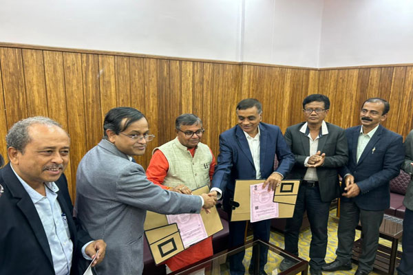
The initiative follows a Memorandum of Understanding (MoU) signed between the Tripura Agriculture Department and the National Bureau of Soil Survey (NBSS), Nagpur. Under the collaboration, detailed soil and land resource mapping is being carried out to generate accurate, location-specific data that will guide crop planning and land use decisions.
The focus of the study is on analysing soil characteristics, land capability and moisture levels using modern geo-spatial tools. Experts say such technology-driven assessments can precisely identify the suitability of land for various crops, reducing trial-and-error farming and enabling more efficient use of resources.
Agriculture and Farmers’ Welfare Minister Ratan Lal Nath, while inaugurating a workshop on the Land Resource Inventory of Tripura using geo-spatial techniques at Pragya Bhawan, said scientific data is essential for transforming agriculture. He stressed that understanding soil layers and land potential is the first step towards adopting modern cultivation practices and ensuring long-term agricultural sustainability.
Soil scientists from NBSS have already completed surveys in select districts and presented their findings during the workshop. The research work, carried out with the help of satellite imagery, mapping tools and field verification, provides a comprehensive picture of soil types and land capability across different regions of the state.
Officials said the geo-spatial database will help the Agriculture Department formulate crop-specific strategies, promote scientific farming and optimise land use. The remaining districts will also be covered in the next phase of the project, ensuring state-wide availability of reliable land resource data.
Senior officials of the Agriculture Department and technical experts attended the workshop, where discussions focused on integrating geo-spatial findings into policy-making and field-level implementation. The initiative is expected to play a key role in modernising Tripura’s agricultural sector and supporting data-driven decision-making in the years ahead.